Duncraig is located 16 kilometres north of Perth’s CBD between the coast and Mitchell Freeway. Its local government area is the City of Joondalup. Duncraig is serviced by the Joondalup train line stopping at nearby Warwick and Greenwood stations, both within Duncraig. Duncraig is bordered by the Mitchell Freeway, Hepburn Ave, Beach Road and Marmion Ave, providing direct access to Perth city, Joondalup and local beaches.

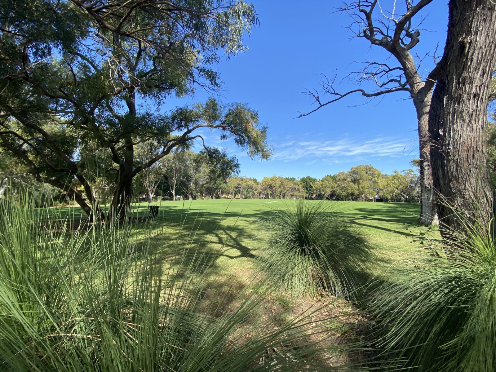
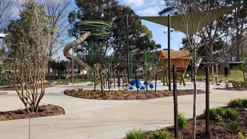
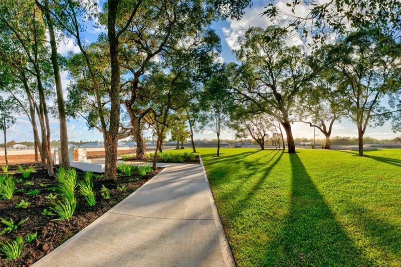
Almost all of Duncraig is residential, although many small parks and bushland areas can be found throughout. Most of the homes in Duncraig were built in the 70s and 80s, with amenities, education and transport facilities being built over the last several decades.
Several neighbourhood shopping centres are dotted throughout the suburb, the largest of which are Glengarry and Carine Glades, each of which also has a tavern. For a wider range of shopping options there is Centro Warwick to the southeast, Karrinyup Shopping Centre to the south and Westfield Whitfords City to the northwest.
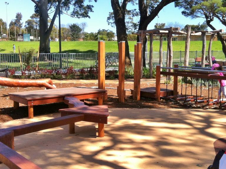
Other local infrastructure and amenities include; Glengarry Private Hospital, several specialist medical centres/services and the Percy Doyle Reserve which has a library and recreation centre. It also contains a multipurpose sports complex including several football fields and soccer pitches, lawn bowl greens and over 20 tennis courts.
Just beyond Duncraig’s southern boundary is Carine Regional Open Space, a wetland reserve centred on two large swamps which is home to many rare waterbirds, frogs, turtles and other wildlife. The space is served by walking and bicycle tracks and also offers AFL, soccer pitches and tennis courts.
Most of the schools in the area were built in the 70s, starting with Davallia Primary School in 1974, followed by Duncraig Primary School the year after. In 1979, Duncraig Senior High School was officially opened. A further three schools opened in the 80s; Glengarry Primary School, Poynter Primary School and St Stephen’s School – a K-12 co-educational school in the north-eastern corner of the suburb. St Stephen’s School is the largest independent school in Western Australia.
The population of Duncraig is 15,635 with a density of 2,011 persons per square km. The suburb’s population is represented mostly by older couples and families at 30.1%, followed by established couples and families at 17.3%.
Annual growth of the suburb is sitting at 15.3%. Based on settled sales as of 7 February 2022, the median land price in the suburb is $417,000 (reiwa.com.au).
As of 10 February 2022, there are currently 2 land lots available in Duncraig, and 68 available in nearby suburbs (domain.com.au).
If Duncraig sounds like your cup of tea, why not make the next step? Contact our Sales & Design Team so we can get you started with a house and land package or custom build.


